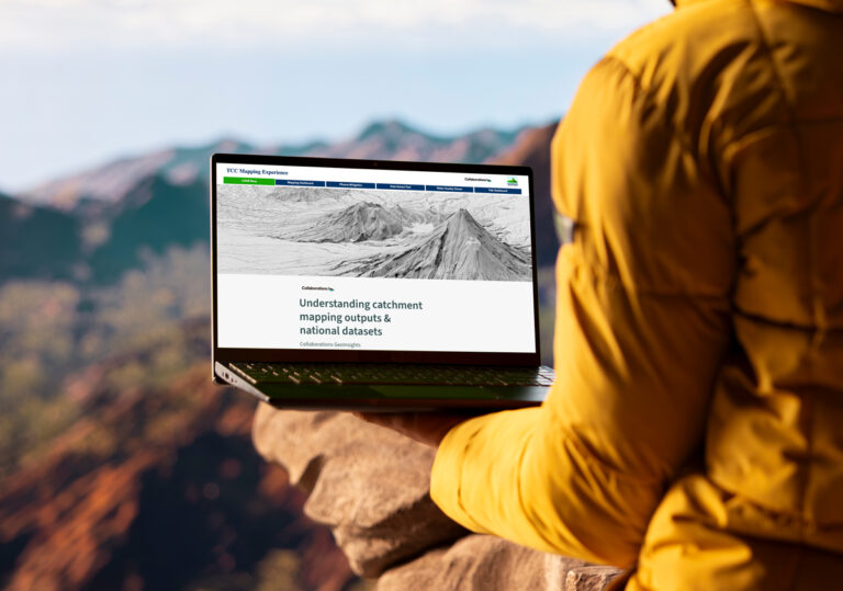
What is the Good Farm Mapping Experience?
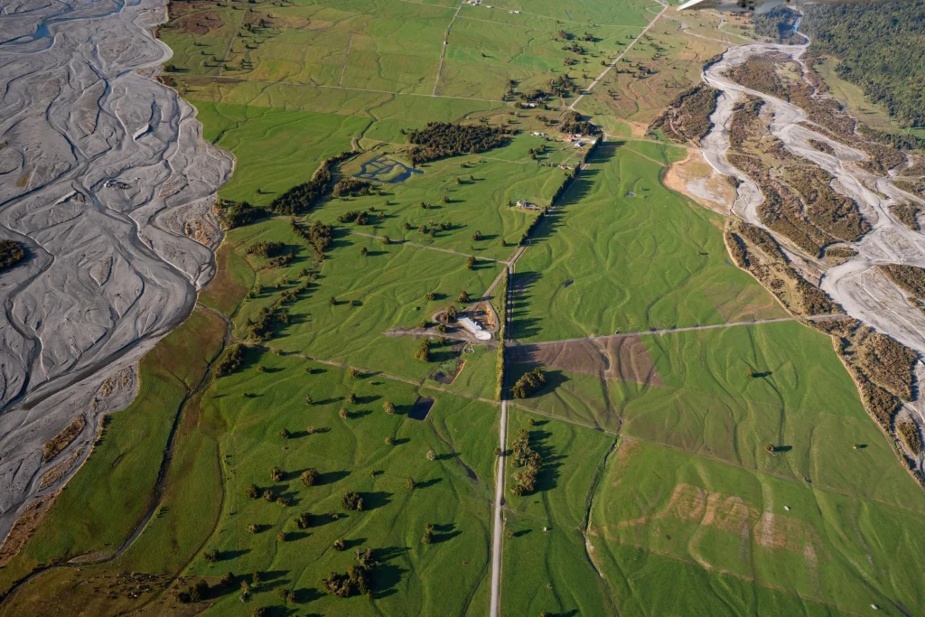
Using LiDAR data and proven science, the Good Farm Mapping Experience turns complex environmental data into clear, practical farm-scale insights. You can see flow paths, erosion-prone areas, wet zones, and opportunities for mitigation, all in one secure online platform. Plus you get mitigation options.
Your maps can be exported and shared with Overseer, advisers, or used directly in farm and catchment planning.
This is about helping you understand your land better and make confident, informed decisions, without the cost or complexity.